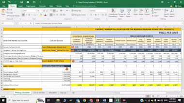
Calculate Product Selling Price For Online Business
Delivery Time: 3 days
Service Includes: Multiple Revisions

. I am a GIS&RS Expert. My background is Geoinformation and GIS/Remote sensing. I am specialized in the work with interactive maps, Excel, with GIS visualizations, geospatial analysis, processing, and vectorization ortho & raster images.
I have the experience to work with geographic information systems (GIS) as ArcGIS, QGis, MapInfo, Google Earth.
I am offering you the following services;
- Coordinate System transformation.
- Conversion and creation of Shapefile, Feature Class, Geodatabase, KMZ/KML, and CAD, etc
- Spatial Analysis.
- Geological Mapping.
- Thematic Maps.
- Image Analysis (Supervised & Unsupervised Classification).
- Georeferencing of Images.
- Elevation and Slope Analysis.
- Elevation Profiles of objects.
- Digitization of Point, Lines, and Polygon in Vector format.
- Groundwater Level Change Analysis.
And so many others.
Contact freely any kind of GIS work.
Reviews
Thank you


